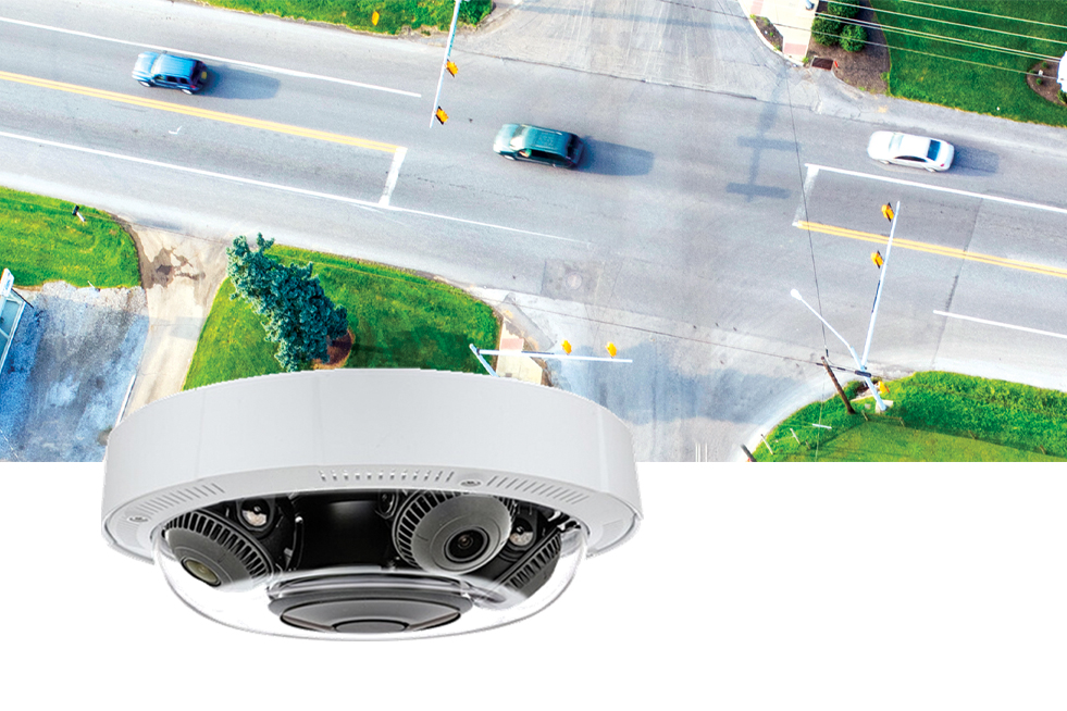
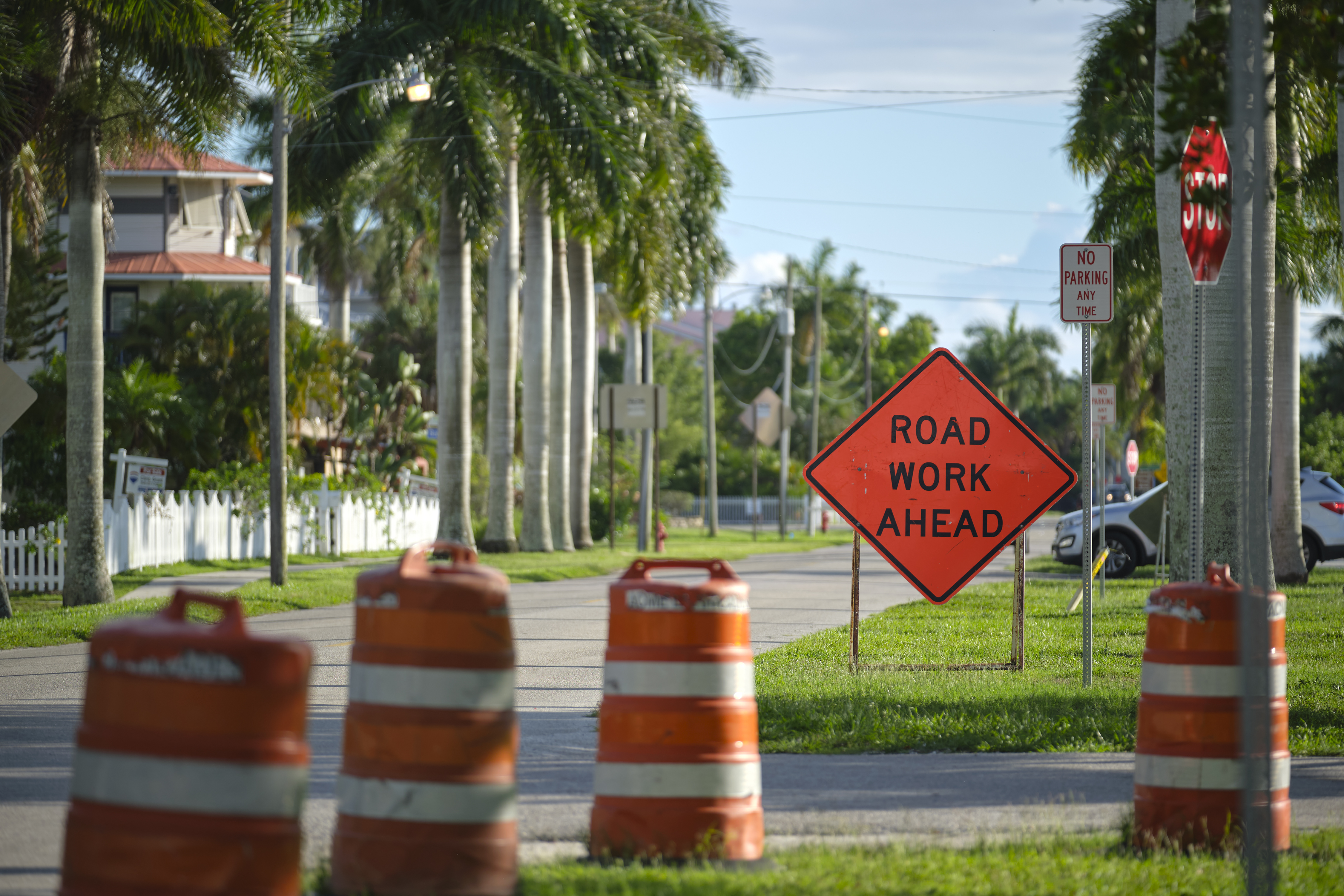
How To Weather A Storm Using MDSS And Vehicle Location Data

While atmospheric and roadway conditions are central to the success of most MDSS solutions, Joseph Urh reveals how vehicle location data from fleet management systems can provide a wealth of storm insights.

Maintenance decision support systems (MDSS) are powerful tools that are capable of providing transportation agencies with an abundance of data, from which actionable insights can be extracted to ultimately benefit commercial carriers and the travelling public.

But while information relating to atmospheric and roadway conditions in the past, present and future may be central to most MDSS users’ day-to-day activities, the tools are actually capable of providing much more data than initially meets the eye.

Location, Location, Location

One such way MDSS can offer users additional data sets is by taking advantage of automatic vehicle locator/mobile data computer (AVL/MDC) technology.

Assuming the agency uses AVL/MDC as part of its fleet management operations, MDSS users can view a customized report that displays collected truck data either from one shift or from the totality of a storm.

In fact, all of the following Information, plus a few other variables, can be extracted via MDSS using an agency’s AVL/MDC data:

  • Miles driven
  • Time driven
  • Material applied
  • Plow-down time
  • MDSS routes traversed

In addition, this report can combine several of these variables to show, for example, the breakdown of miles driven while plowing, applying chemical and performing no maintenance action can be calculated.

Instead of a truck-based report, users can choose to view a route-based report for the entirety of a storm event. While route-based reports provide much less detail than a truck-based report, relevant information is still collected. Most of the information in route-based reports centers around atmospheric conditions with information such as accumulation, temperature and wind highlighted. Some roadway information is also included with the event’s start and end times noted.

In addition to viewing data from only one storm, MDSS allows users to compile data for a customizable date range, including an entire winter season. This type of report can be used as a season snapshot, allowing users to plot a wide range of both atmospheric and maintenance variables.

Saving the Day

When a storm of particular interest impacts an MDSS customer, they have the option to save the storm for future dissection. Often times, storms are saved when they cause widespread travel problems or when the user feels they could have employed a better strategy in fighting the storm. When storms are saved within MDSS, nearly all of the available data is saved for the duration of the storm, in addition to a short period of time both before and after the storm system.

After a storm is saved, it can be replayed in real time whenever the customer desires. As such, saved storms can be particularly useful for training purposes, especially since the outcome of the storm is already known but can be viewed as if it is occurring in real-time.

Many agencies also use saved storms for case studies on their maintenance practices. Since both the weather forecast and recommended maintenance actions update as if the storm were currently occurring, individual routes/areas can be monitored via reports and webcams for potential improvements in an agency’s snow fighting strategy.

The Bottom Line

Atmospheric and roadway conditions form the bulk of data being extracted by MDSS users to best predict and address future weather events, however, by leveraging data from AVL/MDC a wealth of storm-related information can help to build a more complex picture of a city or state’s road maintenance landscape.