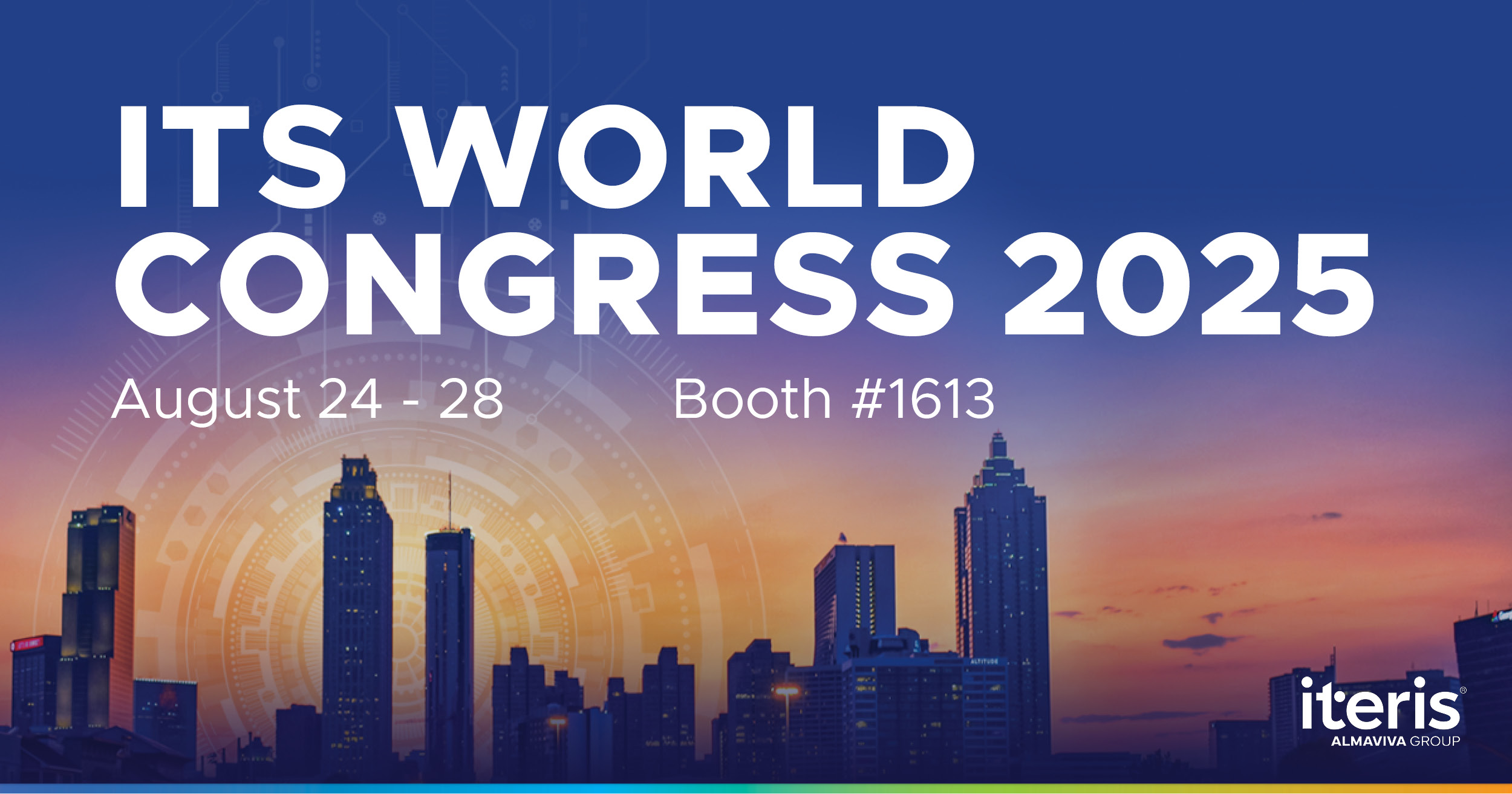
Transit Signal Priority (TSP) and Emergency Vehicle Preemption (EVP)—are often mistaken for one another. This blog breaks down the key differences between them and tackles four persistent myths that continue to cause confusion.See More >
Trends and technological advancements in the world of transportation and traffic engineering are always evolving, but two priorities continue to steer the conversation: safety and efficiency. The goal remains the same—moving people and goods in ways that are smarter, safer, and more sustainable. See
More >
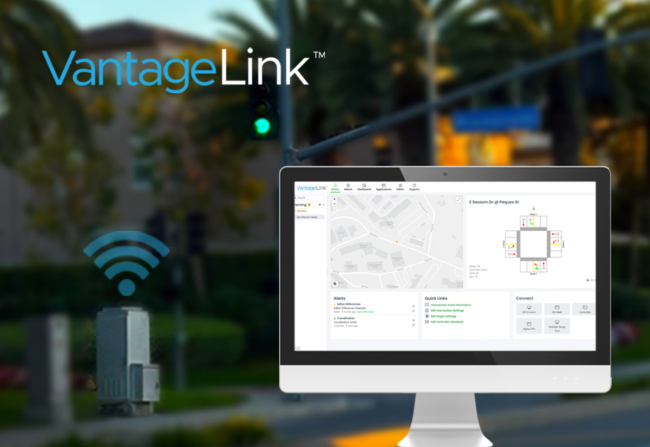
Iteris' new VantageLink® solution is redefining how agencies manage their traffic cabinets by introducing remote connectivity, real-time monitoring, and smarter maintenance tools. See
More >
Transit Signal Priority (TSP) and Emergency Vehicle Preemption (EVP)—are often mistaken for one another. This blog breaks down the key differences between them and tackles four persistent myths that continue to cause confusion.See More
>
Trends and technological advancements in the world of transportation and traffic engineering are always evolving, but two priorities continue to steer the conversation: safety and efficiency. The goal remains the same—moving people and goods in ways that are smarter, safer, and more sustainable. See More
>
Iteris' new VantageLink® solution is redefining how agencies manage their traffic cabinets by introducing remote connectivity, real-time monitoring, and smarter maintenance tools. See More
>
In the heart of Northern Colorado, the city of Loveland faces a challenge familiar to many growing cities: how to protect pedestrians before tragedy strikes. See More
>
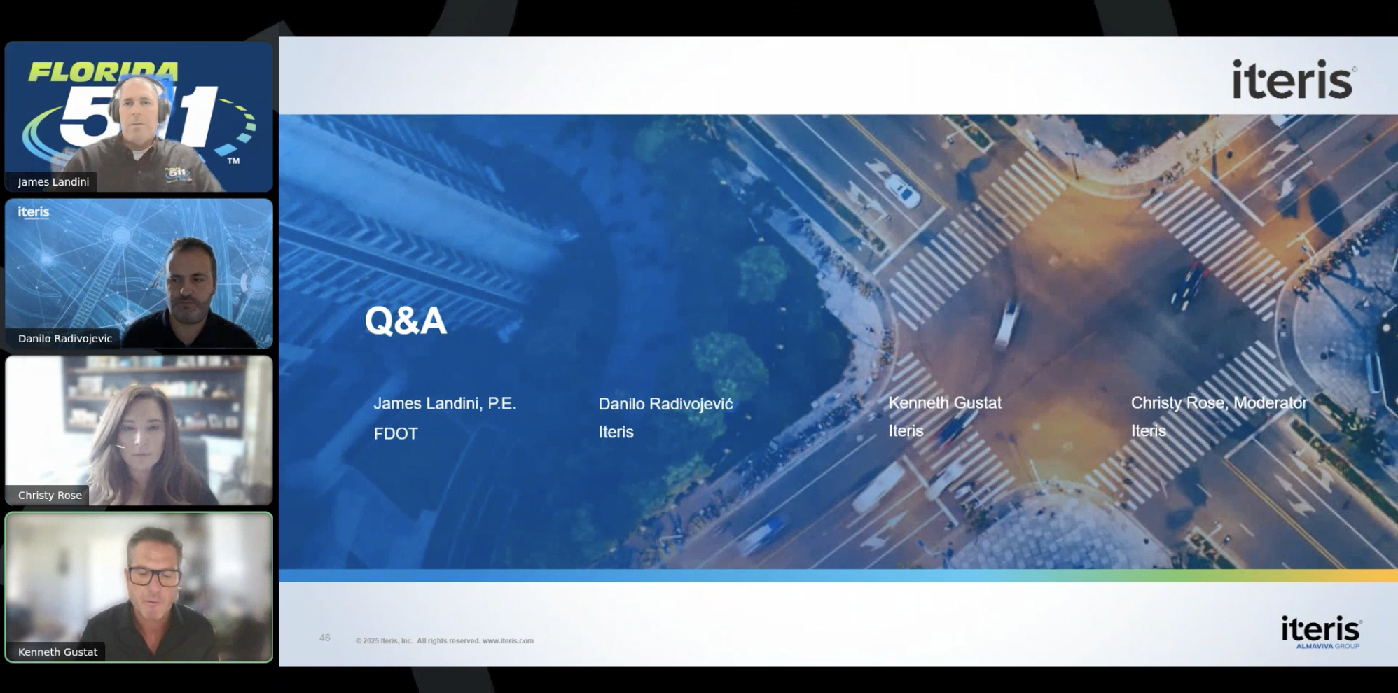
In a recent webinar we hosted, an expert from the Florida Department of Transportation (FDOT) joined us to share how they’re turning that vision into reality with the help of VantageArgus CV™.See More
>
October marks National Pedestrian Safety Month, a time to focus on the importance of protecting vulnerable road users and to champion innovative solutions that make walking safer for everyone.See More
>
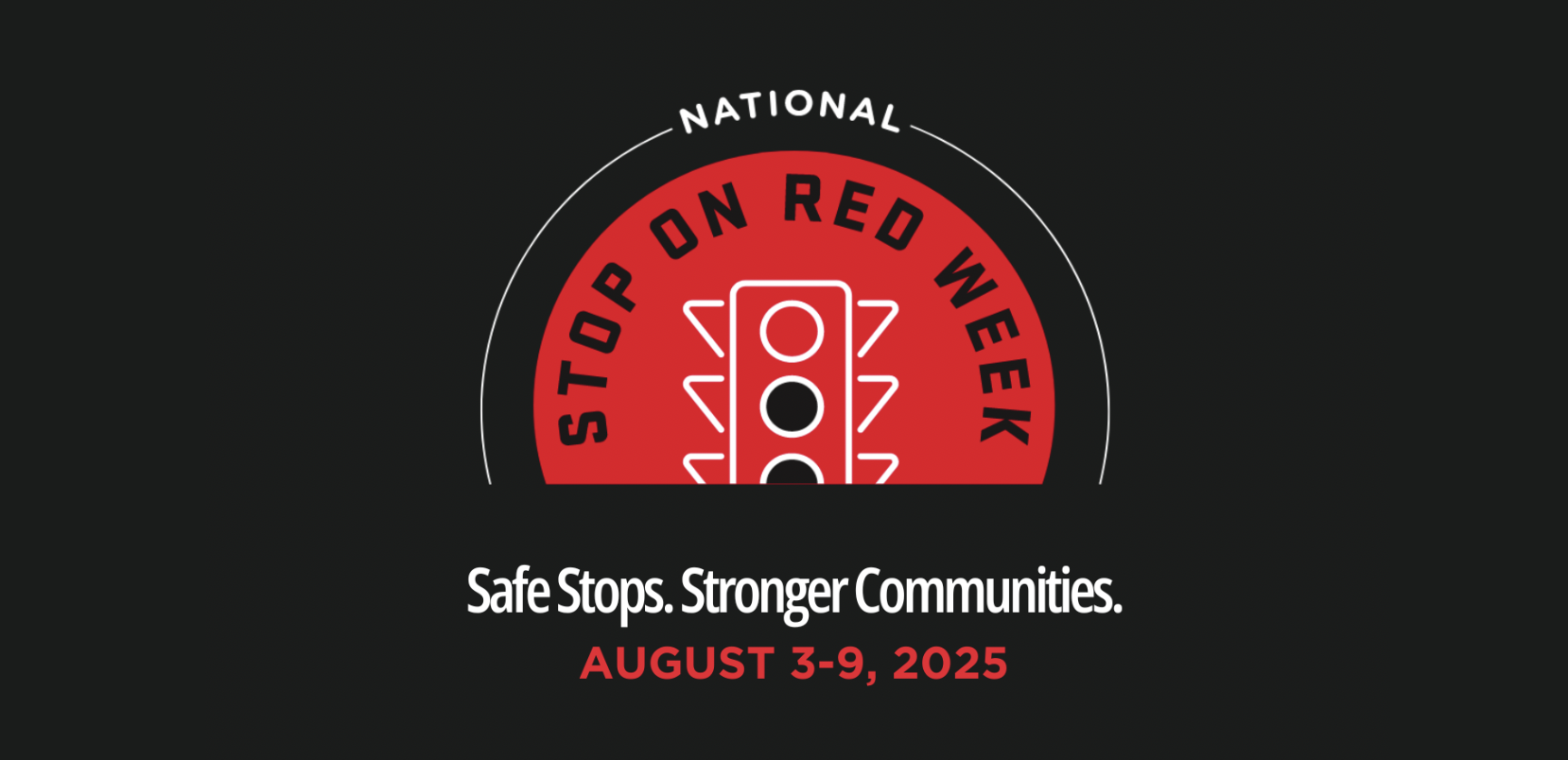
National Stop on Red Week is more than a campaign… it’s a call to action. A reminder that every stop matters. Every decision behind the wheel can save a life.See More
>
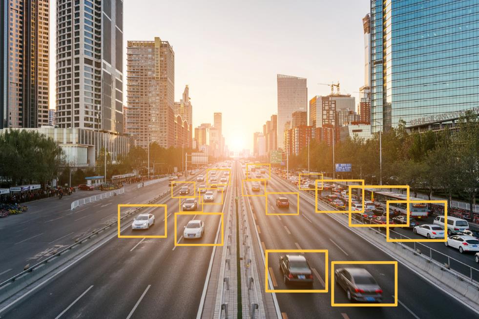
Before the rise of AI-powered detection, we relied on what is now called traditional machine vision (MV). Any technically competent person could set up a processor, download a detection algorithm from the cloud, plug in a video source and start detecting vehicles. These systems have been prevalent over the years and appeared effective, but often relied on an optimal field of view and near-perfect weather conditions. See More
>
At Iteris, we’re always looking for ways to make our detection systems work harder, smarter and more intuitively for our customers. With our latest firmware update for Vantage Apex, we’re raising the bar once again. See More
>
In our recent webinar, Vantage PedSafe in Action, we explored how Iteris technology is transforming pedestrian safety at one of the most dangerous types of crossings: mid-block crosswalks near busy campuses.See More
>
Last month, Iteris and Almaviva took another exciting step forward in our shared journey—this time, together in Austin, Texas, at the 2024 APTA Mobility Conference.See More
>
Back to top
You are leaving Iteris.com
Please be aware that this link will take you to an external website that is controlled
by other parties and may be subject to different privacy policy terms. Do you wish to
continue?